Napoleon Hall
March 6 - June 29, 2009
March 6 - June 29, 2009
Our rational, Cartesian minds have a hard time grasping the structure of the Beyond. Self-enclosed, it merged several topographic features that were theoretically irreconcilable even though they sometimes reflected the earthly and celestial worlds.
Guards, gates, and buildings
The realms and zones of the Beyond were dotted with buildings whose architecture was similar to real Egyptian edifices, except that their component structures were endowed with speech and with destructive powers. As in the real world, these buildings always had a guard who monitored their inhabitants and all comings and goings. Passwords, threats, magic formulas and favors enabled the deceased to pass through the gates to the most important realm, that of Osiris
Natural areas in the Beyond
Natural landscapes in the Beyond were largely inspired by everyday Egyptian reality. Dry desert zones, sandy hillocks, canals, fields and paths were part of a terrain to be traversed not just by the deceased but also by the sun every night. It was populated with hybrid and imaginary beings and creatures based on real life. The various areas included the Field of Reeds and Field of Offerings, which have been compared to the paradise typical of many other religions: an idyllic setting where the deceased enjoy leisure and nourishment for all eternity.
Mapping the unknown
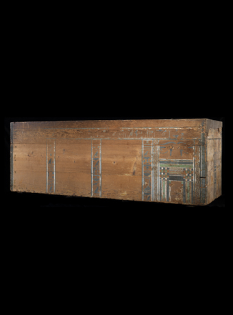
Some of the oldest known maps are those painted on the bottom of coffins found, for the most part, in the Gebel el-Bersheh necropolis in Middle Egypt. Dating back to the Middle Kingdom, circa 1963â1898 BCE, they provided the deceased with a detailed guide to places in the Beyond.
After having entered the gates to the Beyond, then crossing a ring of fire, the deceased had to follow a complicated itinerary that led to the dwelling of Re and Osiris. The texts that accompany these depictions are known as the Book of Two Ways. They provide a precise description of complex topographical zones both celestial and subterranean, all protected by dreaded guards.
Located on the boundaries of the subterranean, earthly, and celestial worlds, the Beyond was mapped as a series of shadowy zones and fiery realms. One particular sector featuring the two paths or âwaysââone by land, the other by waterâwas particularly detailed. Color coding and elaborate conventions of depiction and diagramming demonstrate the sophisticated concepts and techniques developed by Egyptians to map places that had no material reality.